|
Home
Free Maps
Store
ORV Trail Maps
ORV Trail Information
Snowmobile Trail Maps
Outdoor Recreation Maps
Service/Support
Contact
Privacy Policy
About Us
Mailing List
|
| Information
on Pocahontas Trail
Updated 6/15/12
Back to Main Trail Info Page
  
Pocahontas Trail
Printable Map (PDF), Page with Video
of Trail (soon).
Length: 46.4 Miles
Community Connector: Yes
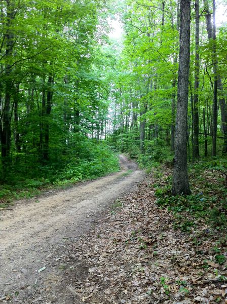
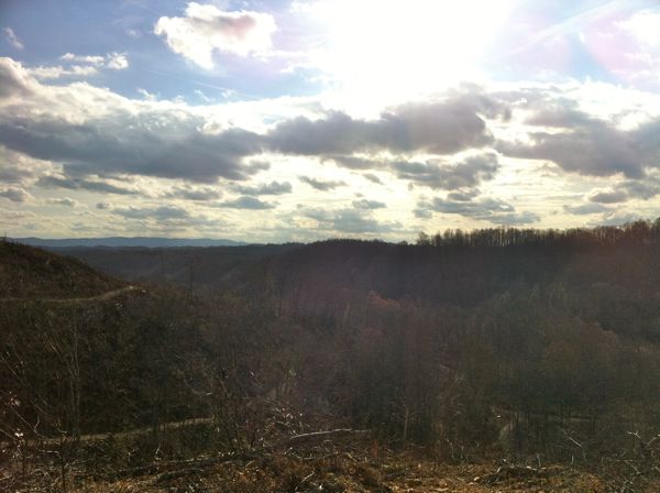
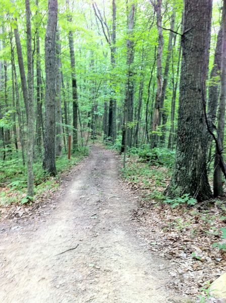
Pocahontas was opened in spring of 2012. It shares many of the traits of Indian Ridge including mostly easier trails, few rocks, lower elevation changes (compared to other systems) and lots of dark and muddy trails. There are a number of scenic views available along several of the green trails. Substantial logging prior to the system opening has many of the trails bordered by young brush and vegetation instead of the usual trees found on the other systems. Large Parking Area near the town of Bramwell, with gas, food and lodging available right near the entrance trail and Highway 52. Connector trail to Indian Ridge; in combination with the connector from Indian Ridge to Pinnacle Creek there are now three systems that can be ridden without ever leaving the trail.
Trail Rating
|
Length (Miles) |
Trail
Notes:
84 Extreme
Steep ascent/descent along pipeline
82 Black
From 81 to 60B; ascent with mud near 60B.
83 Black
Minor elevation changes
86 Black.
Short switchback climbs at south/east end.
70 Black
From 13G to 31B. Short rocky climb.
135 Orange
Great, should be gold standard for single track in the HM system. Log crossings and some brief hillside climbs.
181 Orange
21B to 13G, multiple rocky/rooty descents, some short climbs, lots of hillside action and gobs of log crossings. Easier 21B to 13G.
|
Green |
29.4 |
Blue |
9.2 |
Black |
5.4 |
Extreme |
0.3 |
Orange |
2.1 |
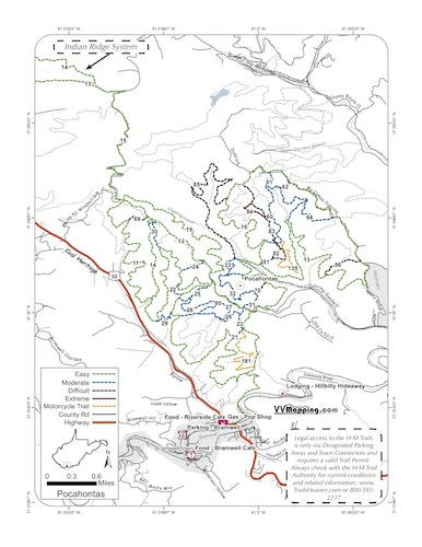
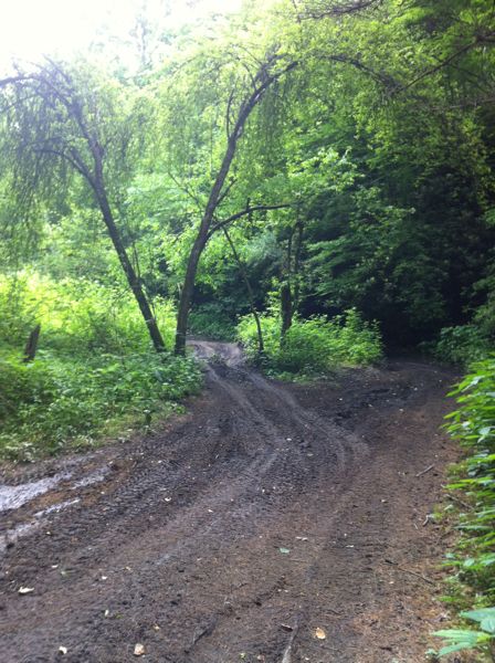
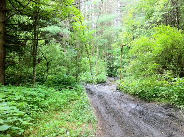
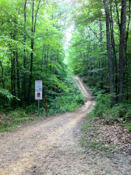
Images of Pocahontas Trail.
|
|
Information about this page
Information regarding
ORV use in West Virginia
Big Picture of trail locations
GPS Map Information

This work is licensed under a Creative Commons Attribution-Noncommercial-No Derivative Works 3.0 License
|
