VVMapping.com - providing high quality mapping products for outdoor recreation

You are here -> Home: Trail Info: Ottawa East Connector

Home

Free Maps

Store

ORV Trail Maps

Snowmobile Trail Maps

Outdoor Recreation Maps

Service/Support

Contact

Privacy Policy

About Us

Mailing List


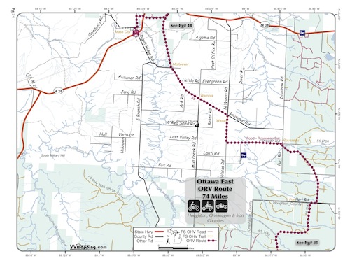
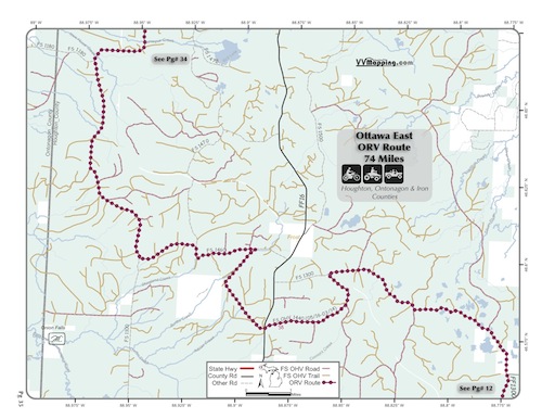
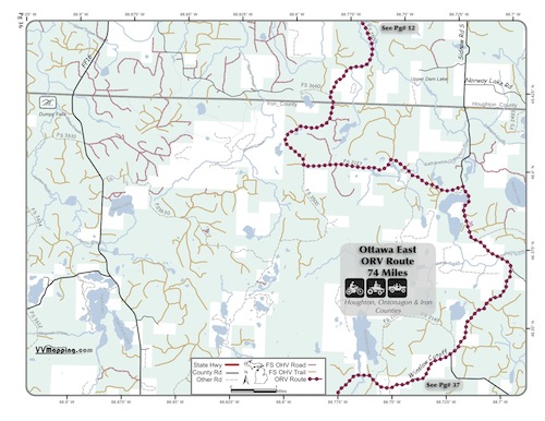
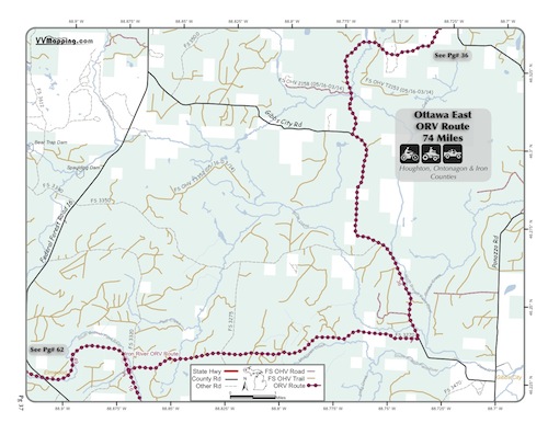
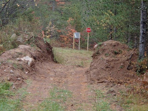
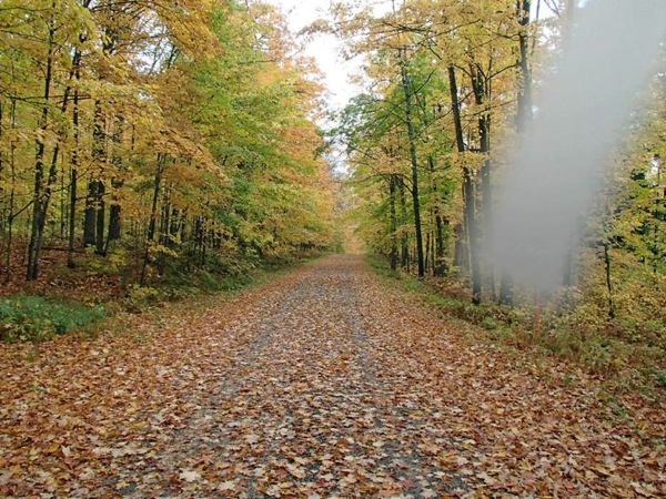
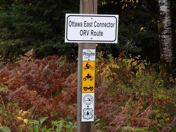
Information on Ottawa East Connector ORV Route

Back to Main Trail Info Page

OHMATV

Ottawa East Connector
Pg# (PDF)
Width: 65"
Length: 74
Traffic: Little
County Rds Open to ORVs: Some
Forest Rds Open to ORVs: Some
Restricted ORV Route. Uses Ottawa National Forest Land. Rocky/hard packed and generally wooded. New in 2013, though uses mainly existing forest/county roads. Connects Bill Nichols ORV Route, Bergland-Sidnaw ORV Route and Iron River ORV Route. Located in Ontonogan, Houghton and Iron Counties which allows ORVs on their roads. Forest roads generally open as well with restrictions in National Forest. Closed March 15th through May 15th. Note the name is a misnomer as it is in the western UP, however it is near the east boundary of the Ottawa National Forest.

** This Route has one short section that is open to ORVs less than 65" in width.**


Photos Credit: B Much

Back to Trails List

Information about this page

Information regarding ORV use in Michigan

Trail Guide at a glance

Big Picture of trail locations

Map Book Information

GPS Map Information

Creative Commons License
This work is licensed under a Creative Commons Attribution-Noncommercial-No Derivative Works 3.0 License

Email Webmaster@vvmapping.com for site issues/suggestions
Email info@vvmapping.com for all other items

Copyright 2008 Valley Ventures Mapping LLC