|
Home
Free Maps
Store
ORV Trail Maps
Snowmobile Trail Maps
Outdoor Recreation Maps
Service/Support
Contact
Privacy Policy
About Us
Mailing List
|
| Information on Iron River ORV Route
Back to Main Trail Info Page   
Iron River
Pg# 52-56 (PDF
52, PDF
53, PDF
54, PDF
55, PDF
56)
Width: 72"
Length: 65.7
Traffic: Little
County Rds Open to ORVs: Yes
Forest Rds Open to ORVs: Yes
ORV Route. Uses old Railroad grade. Generally flat and rocky. Located
in Gogebic and Iron counties which allow ORVs on county roads;
forest roads generally open.
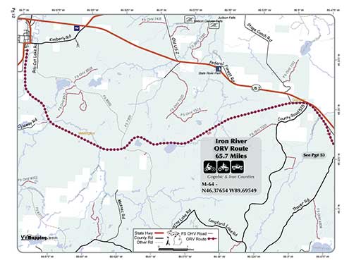
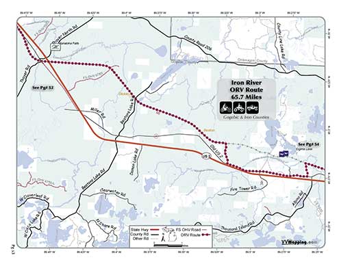
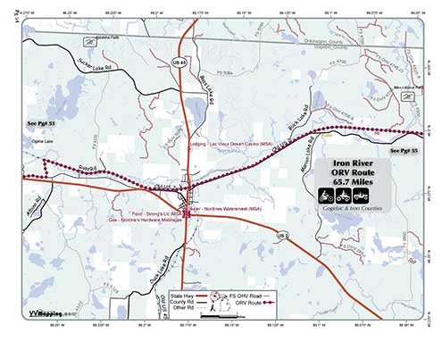
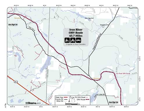
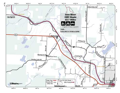
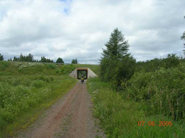
Photo Credit: Bryan M.
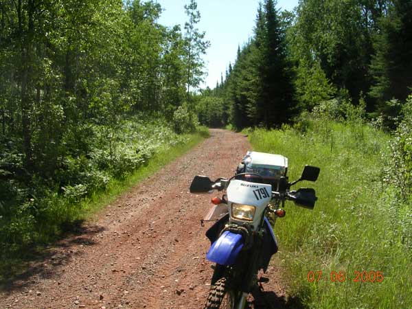
Photo Credit: Bryan M.
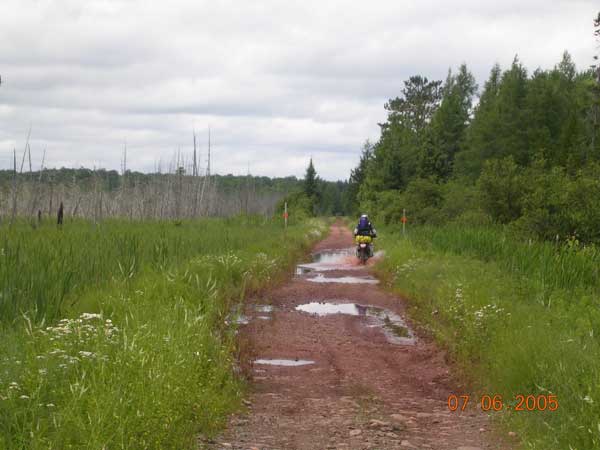
Photo Credit: Bryan M.
|
|
Information about this page Information regarding ORV use in Michigan
Trail Guide at a glance
Big Picture of trail locations
Map Book Information
GPS Map Information 
This work is licensed under a Creative Commons Attribution-Noncommercial-No Derivative Works 3.0 License
|


