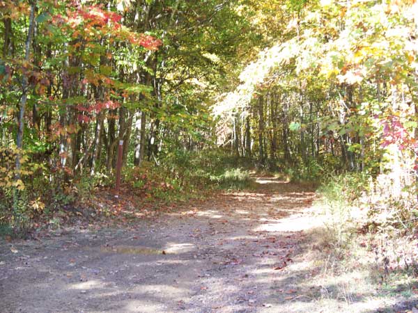
Trail
Notes:
82 Black
From 38 to 19, multiple descents, couple small climbs. Few
switchback, some loose rocks, one final descent is loose
rock and muddy. Easier from 38 to 19.
81 Black
Clockwise, couple small climbs immediately, then access road
for remainder. Easiest to run counter clockwise.
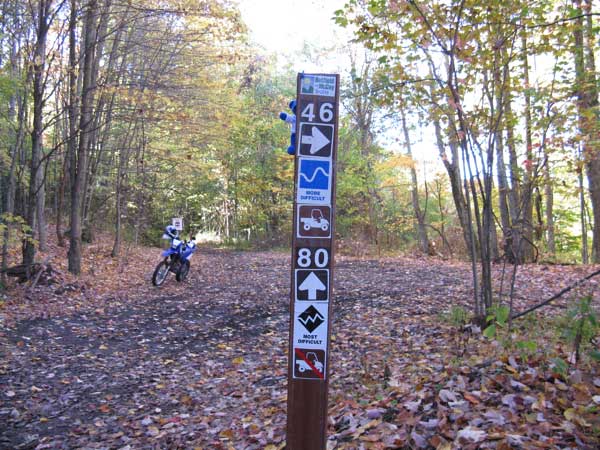
80 Black
From 13 to 46, one climb and one descent, some loose rock
and rain rut for either. Then lots of mud, logs/roots.
Slippery on a bike, easy on ATV. Easier either way.
24 Extreme
From 26 to 16, one major descent, right at end dropping onto
16. Easiest 26 to 16.
165 Orange
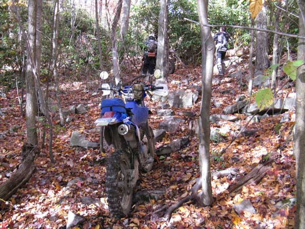
From 91 to 98, starts easy then super difficult rock climb
followed by rock garden and then more difficult rock climb.
Had to push/pull bikes through here. Some tight woods,
additional rock down/up. Easier run 98 to 91.
172 Orange
From 50 to 52. Some short climbs, couple edges with trees
to make it interesting. Probably easier 52 to 50.
180 Orange
From 76 to 98. Couple small climbs,
some with rocks. Follow ridge line/peak. Couple short "off the edge" spots
but not too hairy. Probably easier 98 to 76.
190 Orange
Counter Clockwise. Tricky down hills, crick jump, rocks,
up hills with no run then wicked side hill followed by
significant climb. Climb is just above KOA Kabin. Probably
easier run clockwise.
24 Extreme.
From 26 to 16. Steep downhill. Easier 26 to 16. Rutted from
ATV (not making climb).
54 Black.
This is a short section of 54 Blue, but I called it black
as it's very steep descent from 54 to 50.
71 Black
From 98 to 71. Several decent descents. Easier 98 to 71.
24 Extreme.
What? This is a Blue trail, no idea
why it's "Extreme". Note this was re-classified
to Blue in 2009.
83 Black
From 12 to 52. Rocky uphill, minor.
85 Black
From 52 to 55. Couple minor/long rocky uphills. Easier 55
to 52.
90 Black
From 62 to 67. Decent descent, rocky. Easier 62 to 67.
91 Black
From 62 to 98. Some rocky climbs, pretty minor.
93 Black
Some wider/rocky ups/downs, but pretty minor. Should be a
Blue trail.
98 Black
Not sure why this is a Black, should be Blue. No climbs to
speak of.

