|
Home
Free Maps
Store
ORV Trail Maps
ORV Trail Information
Snowmobile Trail Maps
Outdoor Recreation Maps
Service/Support
Contact
Privacy Policy
About Us
Mailing List
|
| Information
on BearWallow Trail
Updated 6/25/12
Back to Main Trail Info Page
  
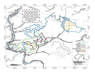
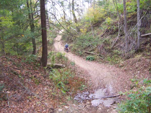
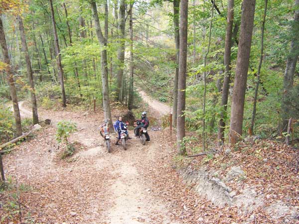
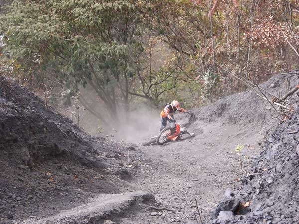
BearWallow Trail
Printable Map (PDF), Page with Video
of Trail. More Pictures.
Length: 73 Miles
Community Connector: Yes
BearWallow is one of the older systems and definitely more difficult
due to the loose rocky trails. Some of the blue trails are much
more difficult than the black trails of Indian Ridge/Pinnacle Creek.
Lots of gas/mining activity cause trails to close and reopen rather
frequently. Gas, food and lodging in Logan.
Trail Rating
|
Length (Miles) |
Trail
Notes:
None at this time
|
Green |
14 |
Blue |
32 |
Black |
11 |
Extreme |
2 |
Orange |
8 |
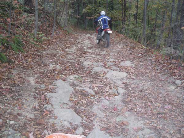
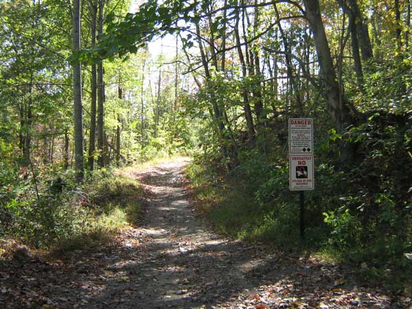
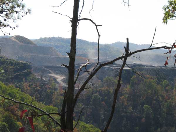
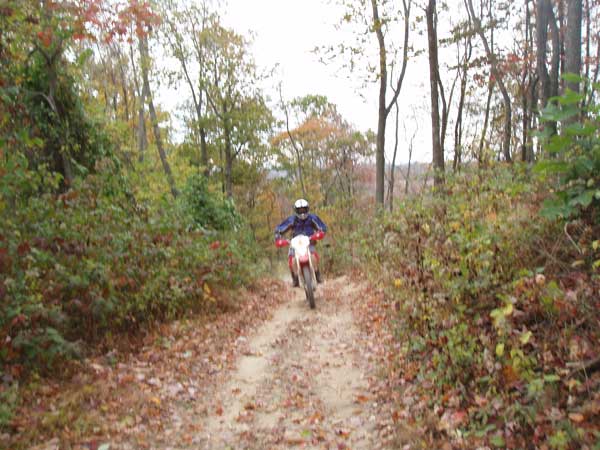
Images of BearWallow Trail.
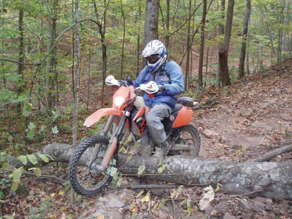
Frank B Photo
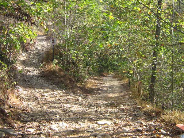
Lee R Photo
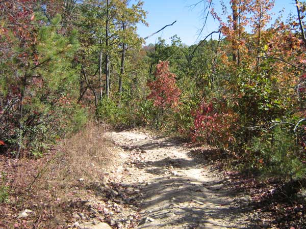
Lee R Photo
Frank B Photo
Lee R Photo
Lee R Photo
|
|
Information about this page
Information regarding
ORV use in West Virginia
Big Picture of trail locations
GPS Map Information

This work is licensed under a Creative Commons Attribution-Noncommercial-No Derivative Works 3.0 License
|
