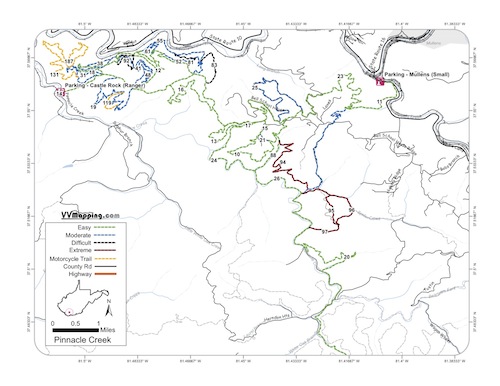
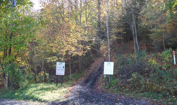
Trail
Notes:
81 Black
From 12 to 52. Medium descents, easier from 12 to 52.
82 Black
From 52 to 55. Medium climb. Easier 52 to 55.
83 Black
From 10 to 55. Decent descents. Minor climb. Easier 10 to
55.
88 Black.
From 23 to 10. Minor rocky ascent. More of a blue trail.
91 Black
From 45 to 18. Decent descents, easiest 45 to 18.
92 Black
From 45 to 40. Couple descent climbs. Easier 40 to 45.
93 Black
From 91 to 18. Rocky climb. Easier 18 to 91.
94 Black - Easier 88 to 23; Major downhill at intersection
with 23 Blue.
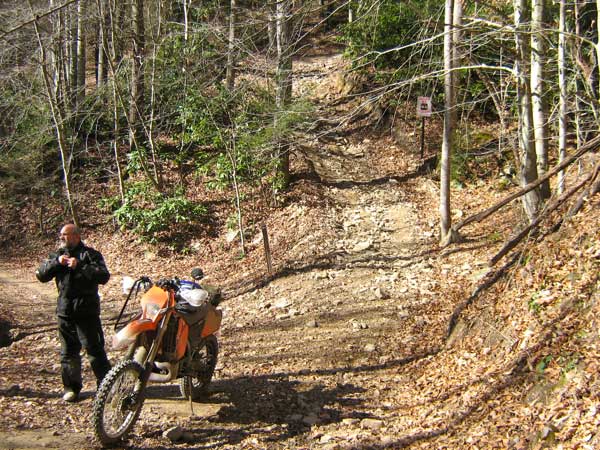
95 Extreme - Trail moved in 2011 due to logging, long climb from 96 to 95/96/97 intersection.
96 Extreme - Easier 97 to 23; long downhill rocky stream,
multiple stream crossings.
97 Extreme - Easier 96 to 23; long muddy climbs followed
by long rocky stream climbs (up hill from 23 to 96).
94 is most difficult trail on system due to climb; other Extreme
trails great fun and good challenge.
119 Orange - single track with minor climb running on mostly grown-in logging cut.
131 Orange - Similar to 119 with minor climb near 187 intersection.
187 Orange - Major climb (both directions) getting on/off ridge top. Ridge top bulldozed/widened for recent gas well activity (2011) so majority of "single track" is along side/bottom of hillside.