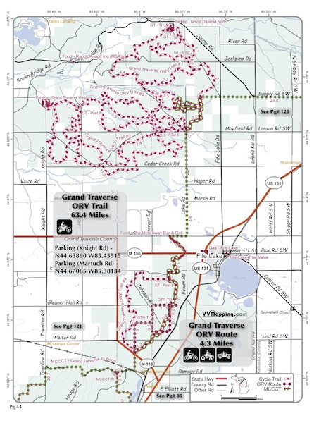
VVMapping.com - providing high quality mapping products for outdoor recreation & Beyond

You are here -> Home: Trail Info: Grand Traverse

Home

Free Maps

Store

ORV Trail Maps

Snowmobile Trail Maps

Outdoor Recreation Maps

Service/Support

Contact

Privacy Policy

About Us

Mailing List


Information on Grand Traverse ORV Trail

Back to Main Trail Info Page

OHM

Grand Traverse
Pg# 42 (PDF)
Width: 40"
Length: 63.4
Traffic: Little
County Rds Open to ORVs: Some
Forest Rds Open to ORVs: No
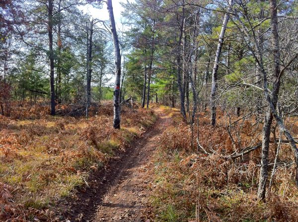
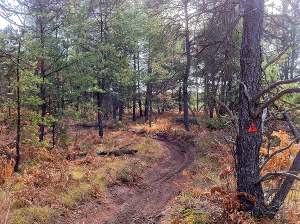
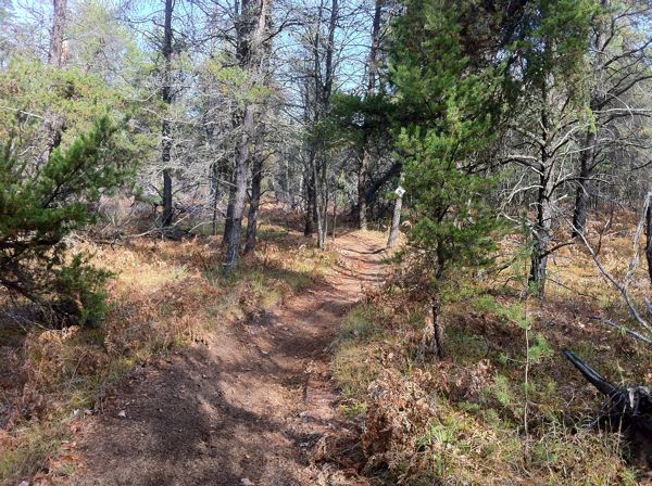
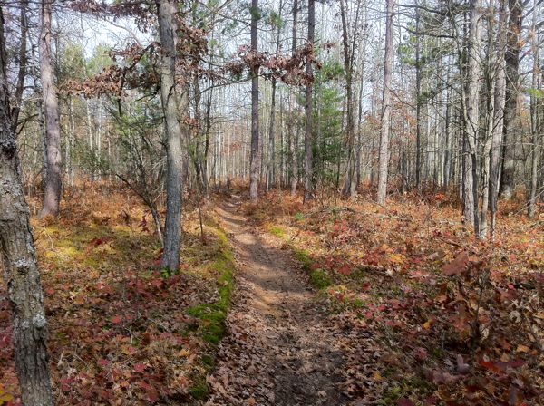
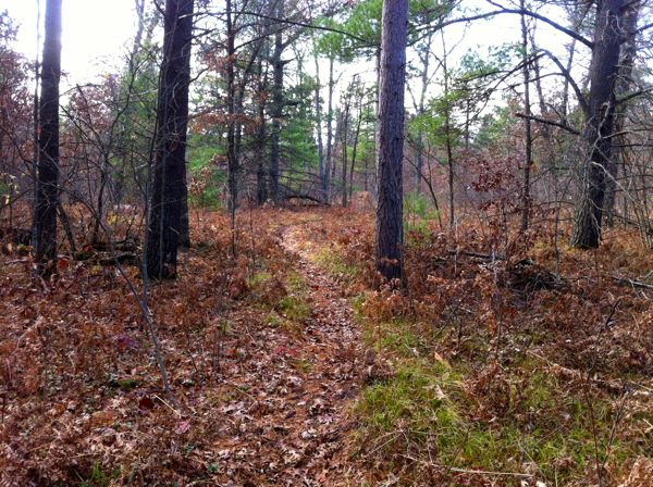
ORV Trail, motorcycle-only. Generally flat to rolling trails, some small hills snuck in. Several sections the grader can't get to that are severely whooped, most of the trail is generally light on whoops. Good flowing trail through mostly open mix of hardwood and pine. Trail #4 is the tightest, trails 1-3 are wider 40” trails. Multiple loop options. Uses MCCCT to connect between trails #3 and #4 using county roads. Two small staging areas. Located in Grand Traverse County that allows ORVs on some of their roads. See also Grand Traverse Route.

Video of Trail, 6 minutes, Quicktime, 46 MB


Back to Trails List

Information about this page

Information regarding ORV use in Michigan

Trail Guide at a glance

Big Picture of trail locations

Map Book Information

GPS Map Information

Creative Commons License
This work is licensed under a Creative Commons Attribution-Noncommercial-No Derivative Works 3.0 License

Email Webmaster@vvmapping.com for site issues/suggestions
Email info@vvmapping.com for all other items

Copyright 2008 Valley Ventures Mapping LLC