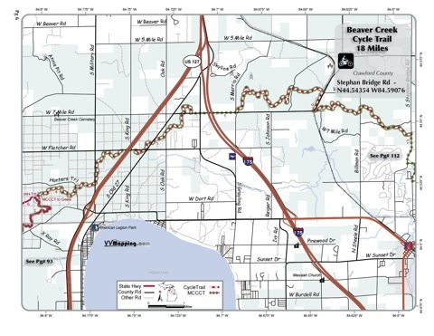
VVMapping.com - providing high quality mapping products for outdoor recreation & Beyond

You are here -> Home: Trail Info: Beaver Creek

Home

Free Maps

Store

ORV Trail Maps

Snowmobile Trail Maps

Outdoor Recreation Maps

Service/Support

Contact

Privacy Policy

About Us

Mailing List


Information on Beaver Creek ORV Trail

Back to Main Trail Info Page

OHM

Beaver Creek
Pg# 6 (PDF)
Width: 40"
Length: 18
Traffic: Little
County Rds Open to ORVs: Yes
Forest Rds Open to ORVs: No
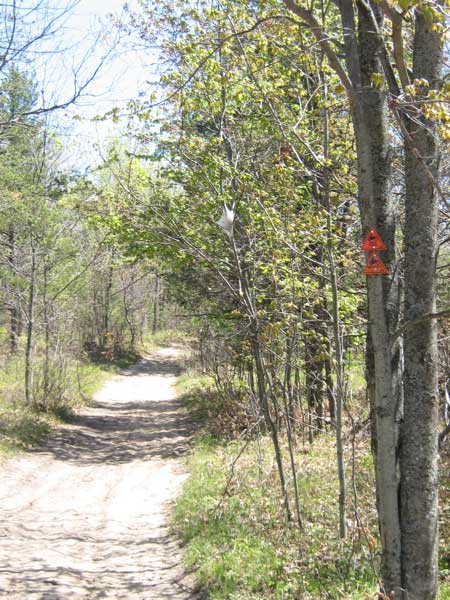
ORV Trail although generally marked as MCCCT only. Road sections require SOS license. This is basically part of the Cross State Connector for the MCCCT but is listed as an ORV trail. Some sections marked as cycle-only, trail is not currently included in DNR's 
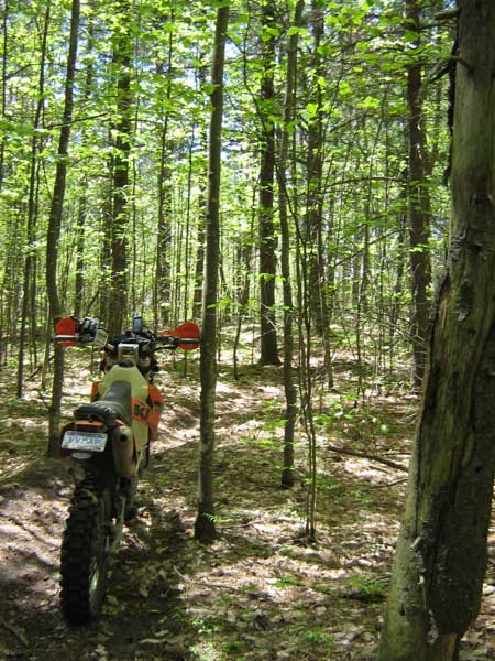
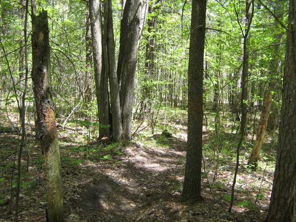
Director's Order restricting use to motorcycles. Narrow trail, 
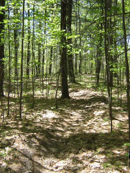
rarely used. Some sections are very whooped out, others are good. Flowing trail, rolling to small hills. Varying forest from clear cut to open hardwood and older red pine stands. Located in Crawford county which allows ORVs on some of their roads.

Video of Trail; 5 Minutes, Flash v8 video, 20MB


Back to Trails List

Information about this page

Information regarding ORV use in Michigan

Trail Guide at a glance

Big Picture of trail locations

Map Book Information

GPS Map Information

Creative Commons License
This work is licensed under a Creative Commons Attribution-Noncommercial-No Derivative Works 3.0 License

Email Webmaster@vvmapping.com for site issues/suggestions
Email info@vvmapping.com for all other items

Copyright 2008 Valley Ventures Mapping LLC