|
Home
Free Maps
Store
ORV Trail Maps
Snowmobile Trail Maps
Outdoor Recreation Maps
Service/Support
Contact
Privacy Policy
About Us
Mailing List
|
| Information on Atlanta ORV Route
Back to Main Trail Info Page   
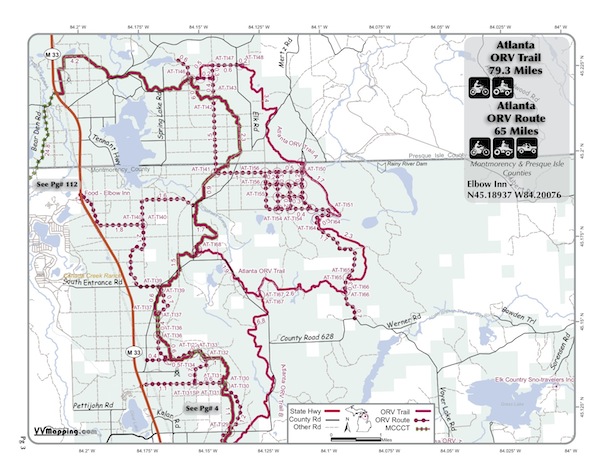
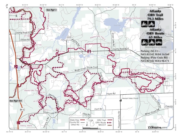
Atlanta
Pg# 1-2 (PDF
1, PDF
2)
Width: 72"
Length: 65
Traffic: Some
County Rds Open to ORVs: Yes
Forest Rds Open to ORVs: No
ORV Route, many loop options. Generally flat and sandy but some
small hills and rocks. Portion of ORV Route in unique grid pattern
(1/4 mile x 1/4 mile grid) allows for learners to have substantial
riding in a small area on hard packed, wooded, terrain. See Atlanta
Trail for campground/road/food info.


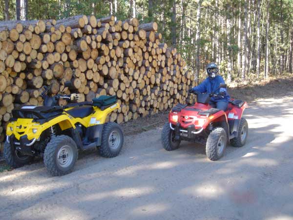
Photo Credit: Ron E.

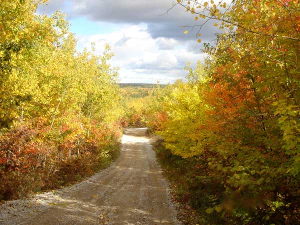
Photo Credit: Ron E.
|
|
Information about this page Information regarding ORV use in Michigan
Trail Guide at a glance
Big Picture of trail locations
Map Book Information
GPS Map Information 
This work is licensed under a Creative Commons Attribution-Noncommercial-No Derivative Works 3.0 License
|


