|
Home
Free Maps
Store
ORV Trail Maps
Online Trail Guide
Snowmobile Trail Maps
Service/Support
Contact
Privacy Policy
About Us
Mailing List
|
| Information on Clark County ORV Trails & Routes
Back to Main Trail Info Page
Clark
Page: 48-49
Trail Miles: 79.8
Route Miles: 64.4
No UTVs
Motorcycle = OK
Description:
Gently rolling to flat, mix of sand and some gravel. Generally forested. Multiple "use areas" along trail at designated locations. Numerous loops, some using Routes as connectors.
Knobby Ridge, motorcycle only system (fee required), with 17.3 miles of trail including small motocross track, beginner loops and miles of single track. Can be muddy in sections.
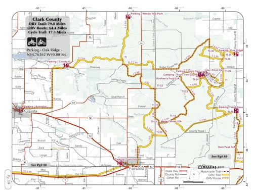
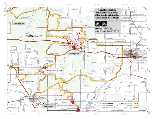
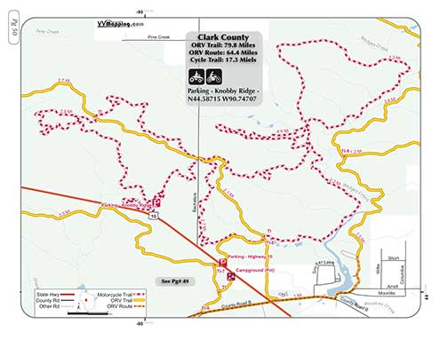
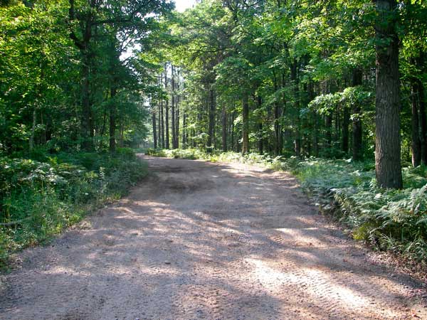 Photo Credit: B. Much Photo Credit: B. Much
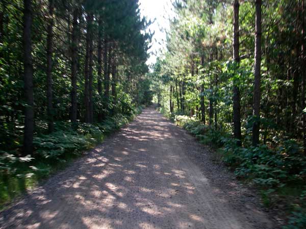 Photo Credit: B. Much Photo Credit: B. Much
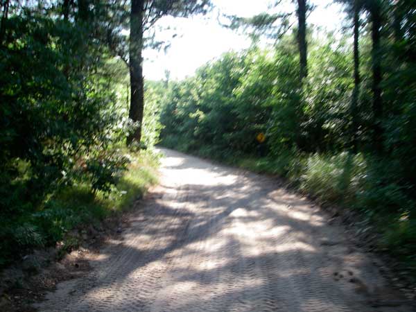 Photo Credit: B. Much Photo Credit: B. Much
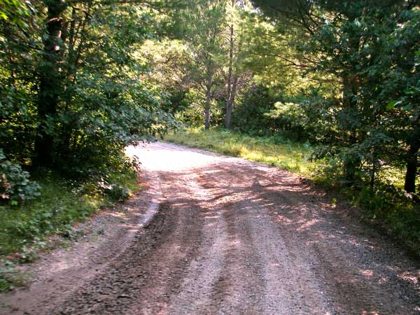 Photo Credit: B. Much Photo Credit: B. Much
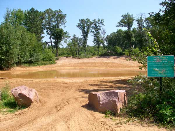 Photo Credit: B. Much Photo Credit: B. Much
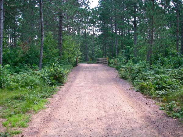 Photo Credit: B. Much Photo Credit: B. Much
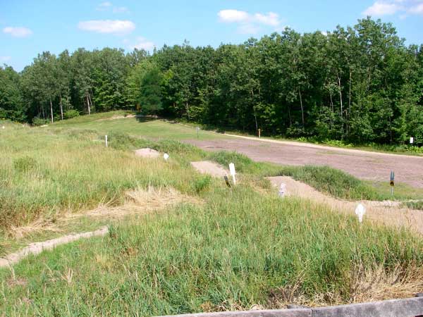 Photo Credit: B. Much Photo Credit: B. Much
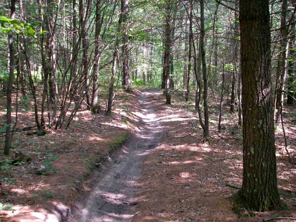 Photo Credit: B. Much Photo Credit: B. Much
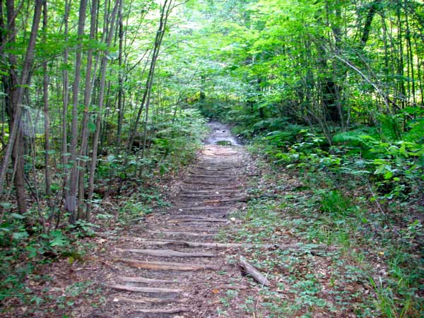 Photo Credit: B. Much Photo Credit: B. Much
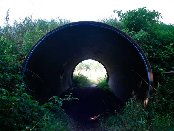 Photo Credit: B. Much Photo Credit: B. Much
|
|
Information about this page
Information regarding ORV use in Wisconsin
Big Picture of trail locations
Map Book Information
GPS Map Information 
This work is licensed under a Creative Commons Attribution-Noncommercial-No Derivative Works 3.0 License
|
